Benton, West Frankfort, Illinois News | Franklin County News
Newspaper covering Franklin County, Illinois
Please read Channel 12 meteorologist Brian Alworth’s quote toward the end of the link
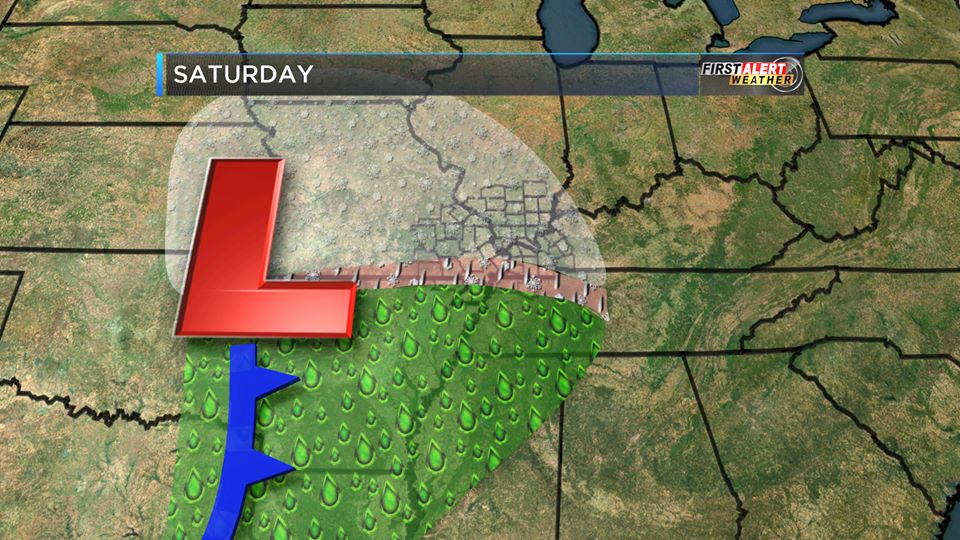
When you click on this link, it will give you an updated forecast throughout the day. There is an 80% chance of rain today, a stray thunderstorm is possible with a high of 54 degrees. The latest model from the Storm Prediction Center, has the chance of severe weather south of the Ohio River now. The rain chances continue through tomorrow with falling temperatures through the afternoon. Here is the hazardous weather outlook from the National Weather Service in Paducah: DENSE FOG WILL CONTINUE TO BE AN ISSUE FOR AWHILE THIS MORNING… ESPECIALLY OVER PORTIONS OF WESTERN KENTUCKY AND SOUTHWEST INDIANA. A DENSE FOG ADVISORY REMAINS IN PLACE FOR THE ENTIRE REGION THROUGH 9 AM. PLEASE REFER TO THE FOG ADVISORY PRODUCT FOR MORE DETAILS. THERE WILL BE A SLIGHT CHANCE OF THUNDERSTORMS TODAY INTO EARLY TONIGHT…ESPECIALLY OVER WESTERN KENTUCKY. AN ISOLATED DAMAGING WIND GUST CANNOT BE RULED OUT…BUT WIDESPREAD ORGANIZED STORMS ARE NOT EXPECTED. .DAYS TWO THROUGH SEVEN…TUESDAY THROUGH SUNDAY ARCTIC AIR WILL ARRIVE WEDNESDAY. WIND CHILL VALUES DURING THE LATE NIGHT AND MORNING HOURS COULD DIP INTO THE SINGLE DIGITS TO NEAR 10 DEGREES…ESPECIALLY THURSDAY AND FRIDAY MORNINGS. There is a slight chance of snow on Thursday afternoon. Models are still all over the place for a possible snow event this weekend. This is what KFVS TV meteorologist posted on his Facebook page this morning. “Interesting scenario developing for late this week. Cold air will blow into the Heartland about midweek. At first it looks like we’ll be mainly dry (maybe a few flurries, etc.) But by Friday night into Saturday forecast models are indicating we may have a rather significant weather system moving through from west to east. Too early to get really excited (or worried) but at this point it looks like we could get some measurable snow out of this….though as usual the ‘rain/mix/snow’ zone will be somewhere in our region. Stay tuned for likely tweaks.” We will always stay on top of the weather situation here at franklincounty-news.com
You must be logged in to post a comment.
December 29, 2024
Columns Archives...


Speak Your Mind
You must be logged in to post a comment.