Franklin County and the rest of Southern Illinois has been downgraded to marginal risk of severe weather today. We are not out of the woods, but the treat has diminished.
We have one more day left of the early spring, as highs today will be in the lower 70’s.
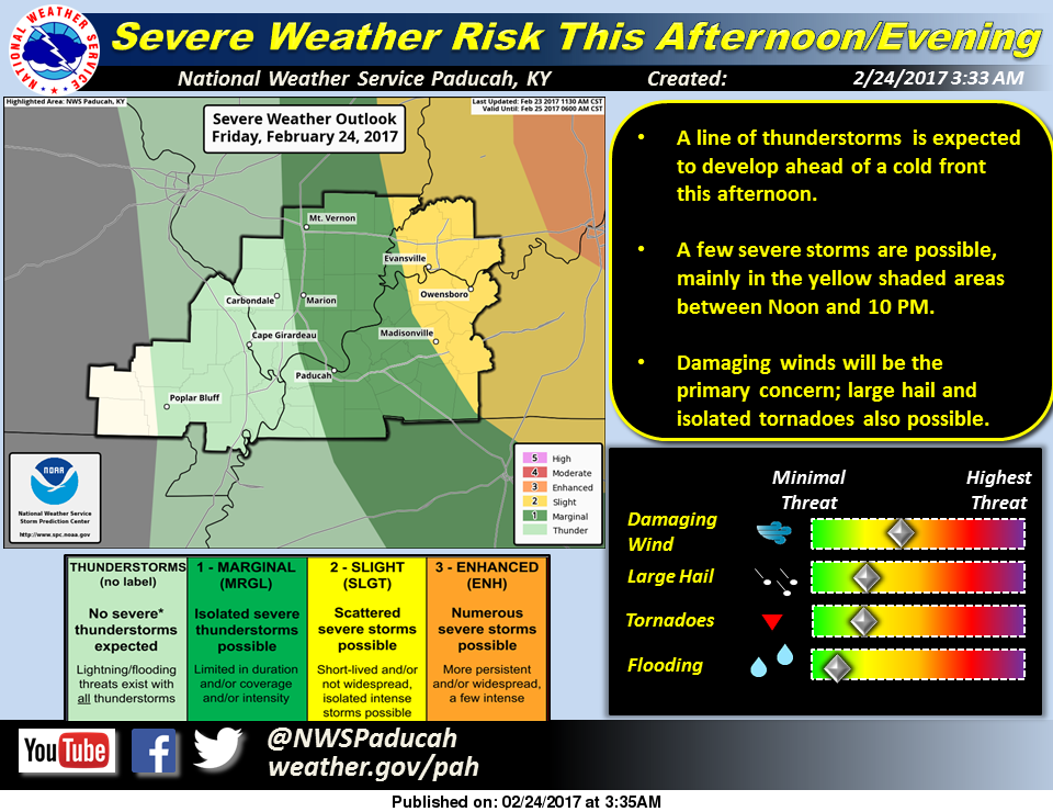
The National Weather Service in Paducah, KY issued this statement about the potential for severe weather today:
A chance of thunderstorms exists primarily this afternoon and evening ahead of an approaching cold front. This includes a slight risk of severe storms, mainly over southwest Indiana and the Pennyrile of western Kentucky. Damaging winds will be the primary severe weather hazard, but large hail and isolated tornadoes will also be potential hazards.
Tomorrow more February type weather will come into the forecast, with a high around 40. The fire danger will be elevated tomorrow. Here is a statement from the National Weather Service addressing this:
Fire danger spreads across the entire Quad State Saturday afternoon, due to a combination of winds in the teens mph and low relative humidity values in the 30s percentile.
The potential for thunderstorms returns to all or part of the area Tuesday and Tuesday night. The main storm related hazards will be lightning and locally heavy rain.
There will be a chance of rain each day Sunday through Wednesday as temperatures moderate to the mid 60’s by Tuesday. Highs will be in the 50’s Wednesday and Thursday.


Speak Your Mind
You must be logged in to post a comment.