National Weather Service Paducah KY image.
This afternoon it could be a very volatile situation weather wise. The line of storms that was supposed to be on top of us that caused some severe weather a few hundred miles to our west fizzled out. This will cause more fuel for the atmosphere.
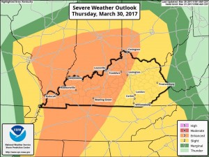
The Storm Prediction Center in Norman OK, has all of Southern Illinois an an Enhanced (level three of five) risk of severe weather.

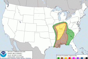
Graphic from the Storm Prediction Center in Norman, OK showing the tornado threat
Instead of a line, super cell development will be likely, instead of a line. Unfortuately, the chance of tornadoes will be higher. Dr. Greg Forbes has the TORCON level at a four still. The storm prediction center is predicting a 10 percent chance of a tornado in a 25 mile radius of us here in Franklin County.
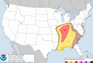
The large hail and damaging thunderstorm wind threat is 30% in a 25 mile radius, for this afternoon. All these percentages might seem small, but being under an enhanced risk is rare. It is anticipated by several in the weather community the risk can be upgraded to a moderate later this morning.
Here is the Hazardous Weather Outlook issued by the National Weather Service in Paducah KY:

Here is the damaging thunderstorm wind probability map by SPC. The map for large hail is very similar.
.DAY ONE…Today and Tonight There is a risk of severe thunderstorms today. The storms will be capable of large hail, damaging winds and possibly tornadoes. The area with the highest probability for severe storms will be east of the Mississippi River. The time frame of concern is from midday through late afternoon.
.DAYS TWO THROUGH SEVEN…Friday through Wednesday There is a chance of thunderstorms Sunday afternoon through Monday morning, and then again Wednesday. The probability for widespread hazardous weather is low.
Looking at several weather models, as well as the opinion of the meteorologists in all three TV stations in this market, is the timing will be from Noon-3:00 P.M. for Franklin County.
The models are showing a good possibility of super-cell thunderstorm development. There is the possibility these storms can develop and intensify rather quickly. They are more likely to have rotation.
This will not be your typical squall line event. There will be a line that will form when the storms are east of here. Because of this, advance warning could be less.
It would be a good idea for schools and businesses to go over their tornado safety plan. I am not saying that we are going to have an event like we had a few weeks ago. However, there is a high likelihood of a tornado warning being issued. It would also be wise to take precautions in case there is a power outage.
There will be frequent updates throughout the day. Keep abreast of this situation from your favorite media source. As of this time, I will be monitoring the radar all day.
I will post when a watch is issued on the website. When warnings start rolling in, time might not allow me to post things on the website. I will post them on the Facebook page.


Speak Your Mind
You must be logged in to post a comment.