Dangerously cold wind chill temperatures will occur overnight on New Year’s Eve. If you have to be outside, remember to dress WARM and limit your exposure to the colder air! (NWS-Paducah)
…WIND CHILL ADVISORY REMAINS IN EFFECT UNTIL NOON CST TUESDAY…
a Wind Chill Advisory REMAINS IN EFFECT until noon CST Tuesday.
* WHERE…All of far southern Illinois, southwest Indiana, western
Kentucky, and southeast Missouri.
* WHEN…6 PM this evening to noon Tuesday.
* ADDITIONAL DETAILS…Wind chills will fall between 4 below and
12 below zero tonight. Wind chills will then drop to between 10
below and 20 below zero New Years Eve night into early New
Years Day. The cold wind chills will cause frostbite to exposed
skin in as little as 30 minutes.
PRECAUTIONARY/PREPAREDNESS ACTIONS…
A Wind Chill Advisory means that cold air and the wind will
combine to create low wind chills. Frost bite and hypothermia can
occur if precautions are not taken. Make sure to protect your
head, feet and hands.
This Hazardous Weather Outlook is for portions of southern
Illinois, southwest Indiana, western Kentucky, and southeast
Missouri.
.DAY ONE…Tonight
A wind chill advisory is in effect tonight for wind chills between
-4 and -12. Please see the advisory product for more details.
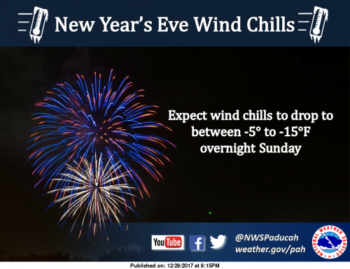
.DAYS TWO THROUGH SEVEN…Sunday through Friday
A wind chill advisory will remain in effect for Sunday through
Tuesday. Wind chills are expected to fall to between -10 and -20
Sunday night. Please see the advisory product for more details.
.SPOTTER INFORMATION STATEMENT…
Spotter activation will not be needed.
Seven Day Forecast


Speak Your Mind
You must be logged in to post a comment.