Today
Sunny, with a high near 18. Wind chill values as low as -7. Northwest wind 5 to 9 mph.
Tonight
A chance of flurries after 3am. Increasing clouds, with a low around 6. Wind chill values as low as -1. Northwest wind around 5 mph becoming calm in the evening.
Friday
Mostly cloudy, with a high near 21. Calm wind becoming northwest around 5 mph.
Friday Night
Partly cloudy, with a low around 5. North northeast wind 3 to 5 mph.
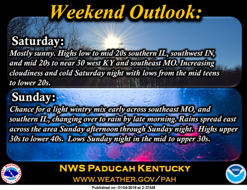
Saturday
Sunny, with a high near 23. Light and variable wind becoming northeast around 5 mph in the morning.
Saturday Night
Partly cloudy, with a low around 17. South southeast wind 5 to 8 mph.
Sunday
A slight chance of flurries, freezing rain, and sleet before 9am, then a slight chance of rain, flurries, freezing rain, and sleet between 9am and noon, then rain likely after noon. Cloudy, with a high near 39. South wind 8 to 14 mph, with gusts as high as 24 mph. Chance of precipitation is 60%.
Sunday Night
Rain. Cloudy, with a low around 35. South wind 7 to 13 mph becoming west northwest after midnight. Winds could gust as high as 22 mph.
Monday
A slight chance of rain before noon. Mostly cloudy, with a high near 40. Northwest wind around 8 mph.
Monday Night
Partly cloudy, with a low around 26. West northwest wind 5 to 7 mph.
Tuesday
Mostly sunny, with a high near 40. West northwest wind 5 to 7 mph.
Tuesday Night
Partly cloudy, with a low around 22. North wind around 5 mph.
Wednesday
Mostly sunny, with a high near 37. North wind 5 to 7 mph becoming south in the afternoon.


Speak Your Mind
You must be logged in to post a comment.