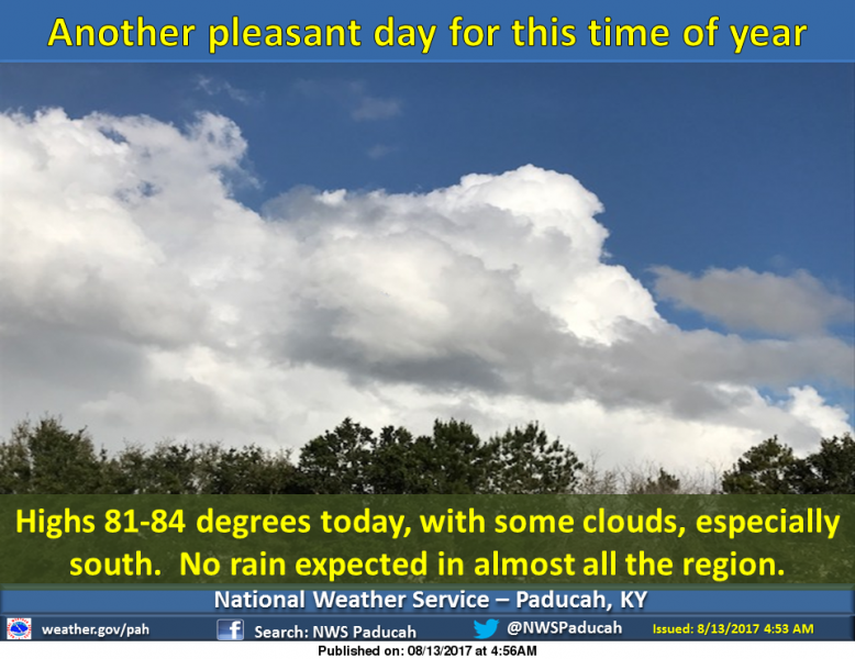
Pleasant conditions will continue today, with cooler than average afternoon highs, easterly winds, and relatively low humidity. There is a slight chance of a shower or thunderstorm near the Arkansas state line in southeastern Missouri. Higher humidity returns on Monday, so enjoy it while it lasts. (NWS Paducah)
Hazardous Weather Outlook
National Weather Service Paducah KY
This Hazardous Weather Outlook is for portions of southern
Illinois, southwestern Indiana, western Kentucky, and southeastern
Missouri.
.DAY ONE…Today and Tonight
There is a slight chance of thunderstorm development near the
Arkansas and Tennessee state lines tonight.
.DAYS TWO THROUGH SEVEN…Monday through Saturday
Scattered thunderstorms may develop mainly over parts of southeastern
Missouri and western Kentucky Monday through Tuesday. Coverage of
thunderstorms will expand across the entire region Tuesday night.
Lightning and locally heavy rain will be the primary hazards.
There is a daily chance of thunderstorms for all or parts of the
region Wednesday through Saturday. Localized torrential downpours
may produce rainfall amounts in excess of an inch an hour. An
isolated damaging wind gust or two is possible.
.SPOTTER INFORMATION STATEMENT…
Spotter activation is not anticipated.
Seven Day Forecast
Today
Mostly sunny, with a high near 83. East wind 3 to 5 mph.
Tonight
Partly cloudy, with a low around 63. Light east northeast wind.
Monday
Partly sunny, with a high near 85. Calm wind becoming south southeast around 5 mph in the afternoon.
Monday Night
Mostly cloudy, with a low around 68. Light south southeast wind.
Tuesday
A 20 percent chance of showers and thunderstorms after 1pm. Partly sunny, with a high near 88. Calm wind becoming south around 6 mph in the afternoon.
Tuesday Night
A 40 percent chance of showers and thunderstorms, mainly after 1am. Mostly cloudy, with a low around 71. South wind 3 to 5 mph.
Wednesday
Showers and thunderstorms likely, mainly before 1pm. Partly sunny, with a high near 90. South southwest wind 3 to 7 mph. Chance of precipitation is 60%.
Wednesday Night
A chance of showers and thunderstorms. Mostly cloudy, with a low around 74. South southwest wind around 7 mph.
Thursday
A chance of showers and thunderstorms. Partly sunny, with a high near 89. West southwest wind 7 to 9 mph.
Thursday Night
A chance of showers and thunderstorms, mainly before 1am. Mostly cloudy, with a low around 71. West southwest wind 5 to 7 mph becoming calm in the evening.
Friday
A chance of showers and thunderstorms. Partly sunny, with a high near 88. West wind 3 to 5 mph.
Friday Night
A chance of showers and thunderstorms. Partly cloudy, with a low around 69. Light northwest wind.
Saturday
Mostly sunny, with a high near 87. West wind 3 to 5 mph.


Speak Your Mind
You must be logged in to post a comment.