 Special Weather Statement
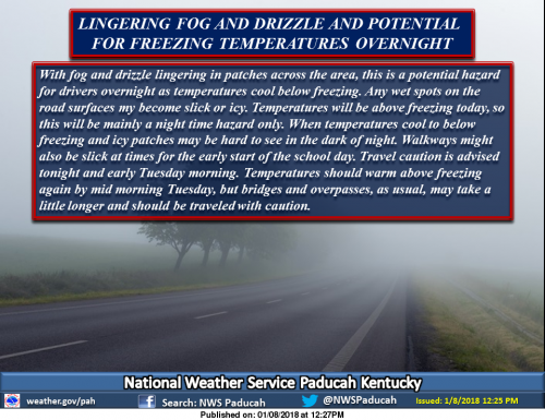
WITH FOG AND DRIZZLE LINGERING IN PATCHES ACROSS THE AREA, THIS
IS A POTENTIAL HAZARD FOR DRIVERS OVERNIGHT AS TEMPERATURES COOL
BELOW FREEZING.
ANY WET SPOTS ON ROAD SURFACES MAY BECOME SLICK OR ICY.
TEMPERATURES WILL BE ABOVE FREEZING TODAY, SO THIS WILL BE MAINLY
A NIGHT TIME HAZARD ONLY, WHEN TEMPERATURES COOL TO BELOW
FREEZING AND ICY PATCHES MAY BE HARD TO SEE IN THE DARK OF NIGHT.
WALKWAYS MIGHT ALSO BE SLICK AT TIMES FOR THE EARLY START OF THE
SCHOOL DAY.
TRAVEL CAUTION IS ADVISED TONIGHT AND EARLY TUESDAY MORNING.
TEMPERATURES SHOULD WARM ABOVE FREEZING AGAIN BY MID MORNING
TUESDAY, BUT BRIDGES AND OVERPASSES, AS USUAL, MAY TAKE A LITTLE
LONGER AND SHOULD BE TRAVELED WITH CAUTION.
Hazardous Weather Outlook
.DAY ONE…This Afternoon and Tonight
Low cloud, fog, or drizzle, that occurs tonight, may translate to
a slick patch or two on area roads and walkways, as temperatures
drop to freezing. See the Special Weather Statement for details.
.DAYS TWO THROUGH SEVEN…Tuesday through Sunday
The potential exists for accumulating wintry precipitation across
our region late in the week, mainly late Thursday night, Friday, and
Friday night. The track of the storm system will determine exactly
where the swath of heaviest wintry precipitation occurs. The storm
system will be followed by another Arctic air mass this weekend.


Speak Your Mind
You must be logged in to post a comment.