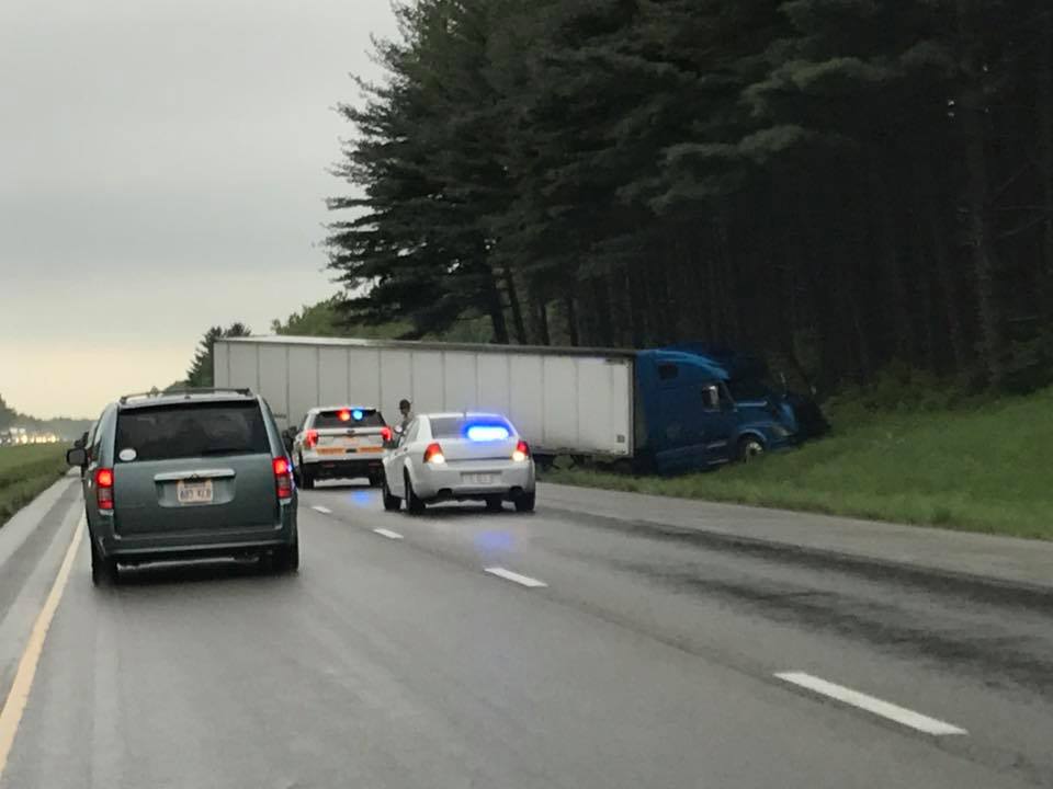
Picture provided by Amanda Smith to KFVS C-News.
According to several social media reports, media, and the Illinois State Police there has been a semi accident on I 57 southbound, between the 73 and 74 mile markers. This is just north of the Benton exit. The accident occurred around 3 pm.
Traffic was backed up in both lanes, and now one lane is open. Seek alternate routes.
sd
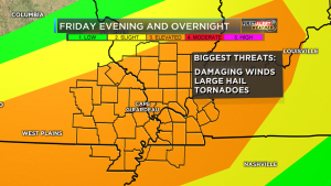
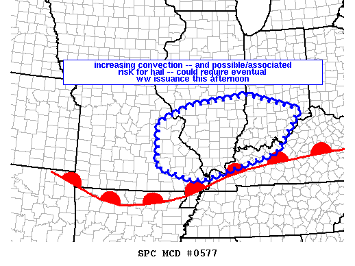 First of all everything from my previous post applies. The Storm Prediction center currently has All of Southern Illinois under a meso (which means Mesoscale Discussion). This is an area the SPC monitors for watch issuance. (See graphic above)
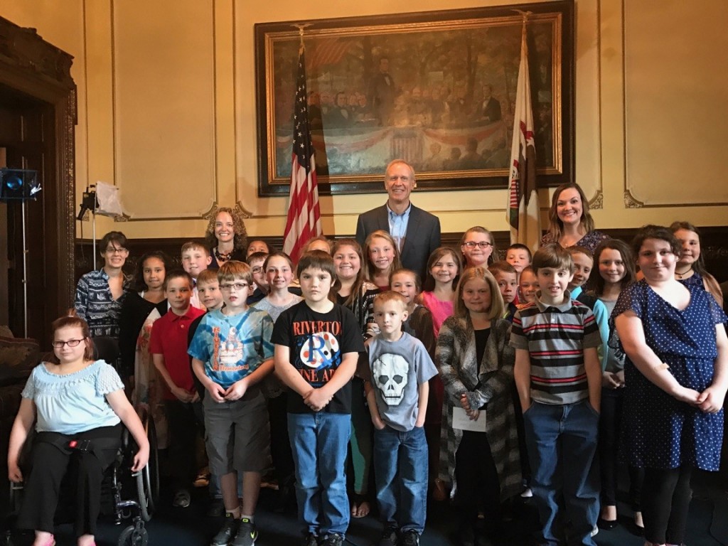 SPRINGFIELD – Governor Bruce Rauner today hosted a Facebook Live to connect with students across Illinois for an interactive, virtual school visit. Students from nearby Riverton also joined the Governor at the Capitol.